betagouv/api.gouv.fr carries an API Geo catalog record for France's administrative geography API. The record is not a fresh commit; it is today's API Discovery brief because the repo exposes a testable public API surface an agent can use safely.
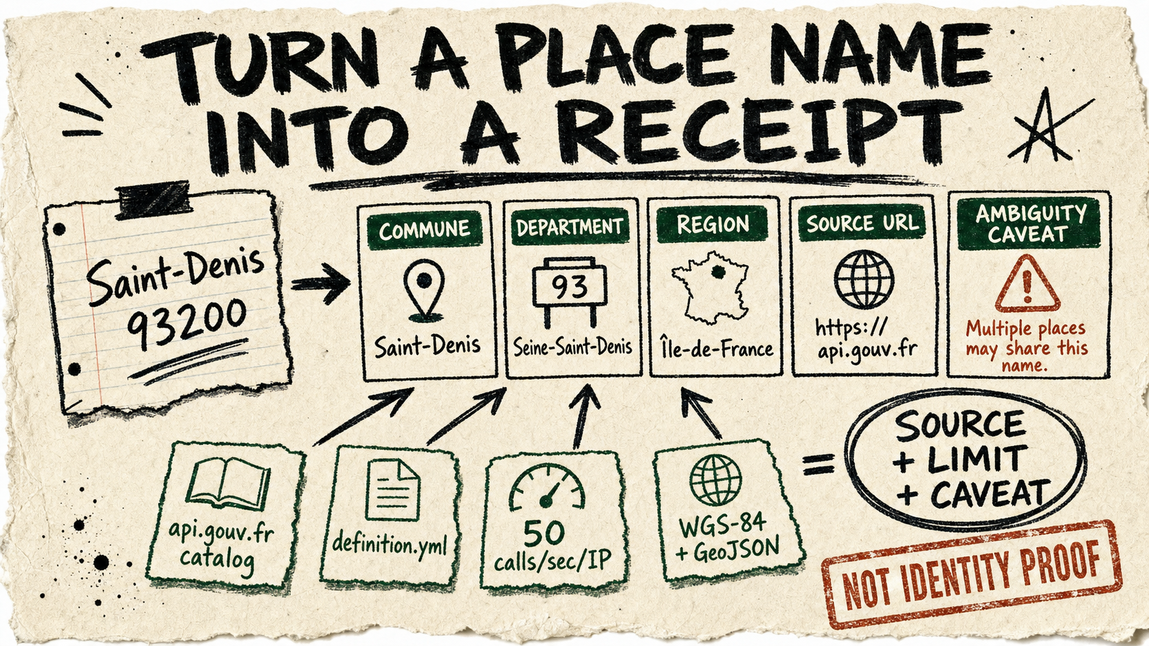
Provider: API Geo, listed through api.gouv.fr. Public API source: the catalog points to the public technical definition, says the API is fully open, and records a 50 calls per second per IP limit.
Creative example: ask an agent to turn a messy civic note into structured French geography. Copy-paste instruction: Use API Geo to look up the commune, department, and region for "Saint-Denis 93200"; return JSON with source URL, coordinates if available, and one caveat about name ambiguity.
Test caveat: respect the rate limit, use WGS-84 coordinates, and do not treat a place-name lookup as identity or eligibility proof. This stays compact because there was no same-day api.gouv.fr code movement, but the catalog record is useful enough to keep public APIs in the daily source habit.