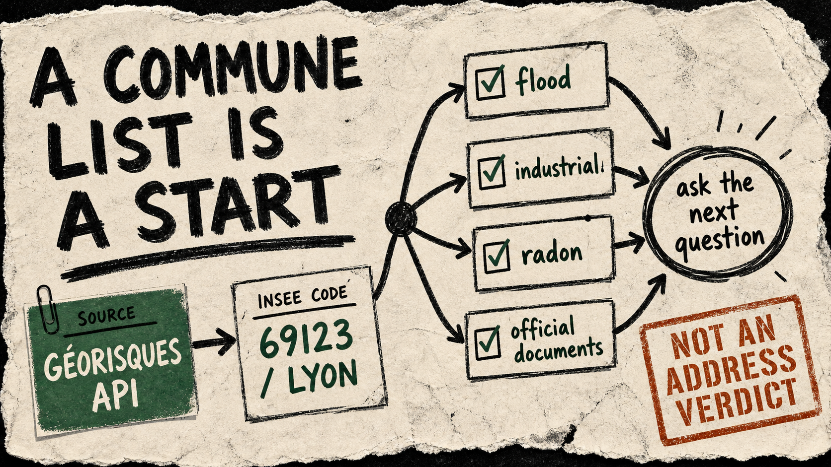
API discovery: API Géorisques, a public BRGM service listed by api.gouv.fr, exposes a route that accepts an INSEE commune code. A live query for Lyon returned detailed flood, seismic, atmospheric, radon, industrial, dam-break, and dangerous-goods entries; Paris returned two broader entries. That difference is useful context, not a ranking of safety.
Try it
Before an agent prepares a relocation brief, a neighbourhood-history interview, or a municipal document request, give it the commune’s list and ask it to turn every listed category into an explicit follow-up: which official plan, map, or local document would confirm the relevant detail?
Copy-paste agent instruction
For the French commune with INSEE code 69123, fetch https://www.georisques.gouv.fr/api/v1/gaspar/risques?code_insee=69123. List the returned risk labels, then make a research checklist of official documents or local questions for each label. State clearly that this is commune-level context, not an address-level assessment, legal advice, or emergency guidance.Test caveat
The catalogue labels the service open and states a 1,000-requests-per-minute-per-IP limit, but its own metadata says it was last updated in February 2024. More importantly, this route reports a commune inventory. It cannot decide conditions at a particular building, replace an official risk report, or tell someone what to do in an emergency.